LiDAR vs RADAR: Two technological titans in remote sensing and object detection. LiDAR, precise with lasers.
RADAR, powerful with radio waves. This article explores their principles, strengths, and applications, uncovering their vital roles across diverse industries.

Principles of Operation
LiDAR
LiDAR operates on a fascinating principle: it sends out rapid bursts of laser light and measures the time it takes for the light to bounce back. Imagine it as a high-tech echo system. When the laser beam encounters an object, it reflects back to the LiDAR sensor, and by precisely calculating the time it took for the light to return, LiDAR determines the distance between the sensor and the object.
This simple yet ingenious concept lets LiDAR build a detailed 3D map of the surroundings. It’s akin to a digital artist meticulously sculpting the environment with laser precision. One of LiDAR’s standout features is its uncanny accuracy and precision, which makes it a go-to technology for applications demanding meticulous measurements, like autonomous vehicles ensuring safe navigation or archaeologists unraveling intricate historical sites.
RADAR
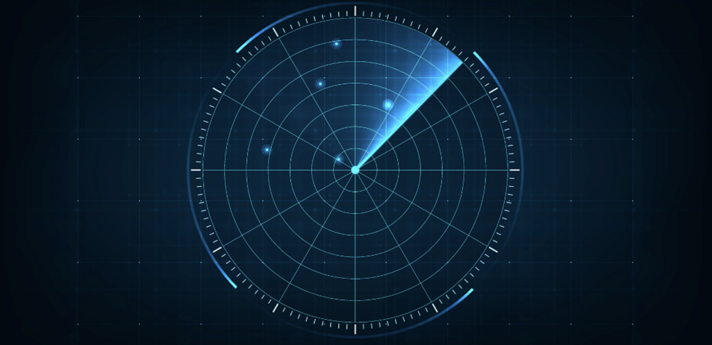
RADAR, on the other hand, relies on radio waves for its magic. Think of it as a cosmic detective, sending out radio signals that bounce off objects and return as echoes. By analyzing the time delay between the emission and return of these echoes, RADAR can pinpoint the distance to an object. But here’s the kicker: RADAR doesn’t just stop at a distance. It’s an all-rounder. It can detect if an object is lurking nearby, estimate its speed, and even discern its direction. That’s like a technology equipped with spatial senses, understanding not only what’s out there but also how it’s moving. Impressively, RADAR isn’t easily fooled by the weather’s tantrums either.
It thrives in rain, snow, fog—conditions that might leave other technologies scratching their heads. This reliability has earned RADAR its stripes in applications like aviation, where accurate and real-time object detection is essential for safe and efficient travel.

Applications of LiDAR
Autonomous Vehicles
LiDAR is the secret ingredient in the recipe of autonomous vehicles. Picture it as the vehicle’s keen-eyed companion, continuously scanning the surroundings with laser beams. This real-time awareness enables the vehicle to identify pedestrians crossing the street, detect the edges of roads, and even discern the nuances of traffic flow. LiDAR acts like a digital Sherlock Holmes, making split-second decisions based on the detailed environment it creates.
Aerial Mapping
When it comes to mapping the lay of the land from above, LiDAR reigns supreme. It transforms aircraft and drones into mapping maestros, capturing intricate details of the terrain with unmatched precision. The result? High-resolution topographic maps that archeologists, urban planners, and disaster responders treasure. It’s like creating a virtual landscape with laser-guided paintbrush strokes.
Archaeology and Forestry
LiDAR’s X-ray vision goes beyond the surface, peering into the hidden realms of archaeology and forestry. It uncovers the secrets of ancient civilizations by revealing hidden ruins and structures that lie beneath layers of earth and foliage. In the forests, LiDAR is a leaf-whisperer, discerning tree species and measuring their height, density, and health. Conservationists and researchers use this data to nurture and protect these precious ecosystems.
Industrial and Construction Applications
Think of LiDAR as a digital construction worker, meticulously monitoring sites and structures. It creates detailed 3D models that track progress, ensure precision, and flag deviations from plans. Architects, engineers, and project managers use these virtual blueprints to keep projects on track, avoiding costly surprises. LiDAR’s laser eyesight keeps a watchful gaze over the nuts and bolts of progress.

Applications of RADAR
Weather Forecasting
RADAR transforms into a weather wizard, conjuring insights from the sky. It detects raindrops, snowflakes, and even the ominous swirls of a tornado. Meteorologists use RADAR’s ability to measure precipitation intensity and track storm movements, helping us brace for turbulent weather. It’s like having a real-time crystal ball for meteorological predictions.
Air Traffic Control
At airports, RADAR transforms into the guardian angel of aviation. It watches over the skies, ensuring aircraft keep safe distances from each other. As planes navigate the vast expanse of the sky, RADAR tracks their positions, speeds, and altitudes, orchestrating a ballet of flight paths to ensure smooth takeoffs, landings, and routes. It’s air traffic control’s trusty sidekick, ensuring the skies remain a well-choreographed symphony.
Maritime Navigation
Out on the open seas, RADAR becomes a steadfast sailor’s companion. It pierces through the maritime mist, spotting other vessels, obstacles, and even distant shores. This helps ships avoid collisions, chart efficient courses, and navigate safely through foggy waters. Whether it’s a massive cargo ship or a nimble fishing boat, RADAR ensures smooth sailing.
Military and Defense
RADAR dons its camo and steps onto the battlefield. In the realm of defense, it’s a vigilant sentry, tracking the movements of enemy forces, identifying incoming missiles, and guiding weaponry with unerring precision. RADAR operates in the shadows, providing critical intelligence and enhancing situational awareness, ensuring that troops have the upper hand on the frontlines.
Strengths and Weaknesses
LiDAR Strengths
- High Accuracy and Precision: LiDAR’s laser-guided precision is its standout feature. It measures distances with exceptional accuracy, creating detailed 3D maps that depict the world down to the smallest detail. This level of accuracy is crucial for applications like autonomous vehicles, where split-second decisions can mean the difference between safety and disaster.
LiDAR Weaknesses
- Limited Performance in Adverse Weather: LiDAR’s reliance on light waves can be its Achilles’ heel in adverse weather conditions. Rain, fog, or heavy snow can scatter or absorb the laser beams, leading to reduced performance and potentially compromising safety. This limitation has prompted researchers to seek solutions that maintain LiDAR’s accuracy even in challenging weather.
- Cost Considerations: Despite its impressive capabilities, LiDAR technology can be costly to implement. The high precision and advanced sensors contribute to higher production and maintenance costs. This can hinder its widespread adoption, particularly in applications where cost-effectiveness is a priority.
RADAR Strengths
- Robust Performance in Various Weather Conditions: RADAR’s versatility shines in adverse weather conditions. Unlike LiDAR, it doesn’t rely on visible light, making it highly effective in rain, fog, and even darkness. This robustness is a critical advantage, particularly in applications where consistent performance is paramount, such as aviation and maritime navigation.
RADAR Weaknesses
- Limited Ability to Provide Detailed 3D Mapping: While RADAR excels at detecting objects and their movement, it lacks LiDAR’s ability to create intricate 3D maps. RADAR’s focus is more on identifying the presence, speed, and direction of objects, rather than capturing fine details of their shapes and surfaces.
- Challenges in Resolving Small Objects at Long Distances: RADAR’s performance can degrade when it comes to detecting small objects at longer distances. Its radio waves may struggle to accurately resolve smaller objects, which could impact applications where detecting and tracking small targets is crucial, such as in military surveillance or tracking wildlife.
In the realm of remote sensing and object detection, both LiDAR and RADAR come equipped with strengths that define their value and weaknesses that challenge their potential. Understanding these attributes is essential for selecting the right technology for specific applications and driving advancements that address their limitations.
Comparing and Contrasting LiDAR vs. RADAR
| Feature | LiDAR | RADAR |
|---|---|---|
| Accuracy | High precision, pinpoint distance measurement | Reliable distance and speed estimation |
| Range | Medium to long distances (hundreds of meters to kilometers) | Short to very long distances (meters to hundreds of kilometers) |
| Weather Sensitivity | Affected by adverse weather (rain, fog) | Robust performance in various weather conditions |
| 3D Mapping | Detailed 3D mapping capabilities | Limited ability to provide detailed 3D maps |
| Cost | Relatively higher cost due to precision and advanced technology | Generally more cost-effective for wide adoption |
| Applications | Autonomous vehicles, aerial mapping, forestry, archaeology | Weather forecasting, air traffic control, maritime navigation, defense |
| Small Object Detection | Limited resolution for small objects at long distances | May struggle with small object resolution at long ranges |
In summary, while LiDAR boasts laser-sharp accuracy and exceptional 3D mapping, RADAR shines with its all-weather performance and versatile object detection capabilities. The choice between the two depends on the specific requirements of the application, budget considerations, and the ability to thrive in different environmental conditions. Each technology brings a unique set of strengths to the table, contributing to the vast array of modern advancements and innovations across various industries.
Final Thoughts
Discover the Future of Remodeling with RENDR: Revolutionizing Remote Engagement and Workflow Solutions. Embrace the power of technology to transform your pre-construction process, as RENDR empowers contractors with cutting-edge tools for streamlined efficiency.
Step into the realm of LiDAR vs RADAR for remodeling, and let RENDR guide you towards unparalleled success in the remodeling business. Sign up for our app here!